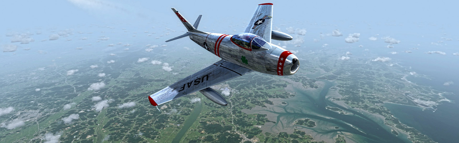
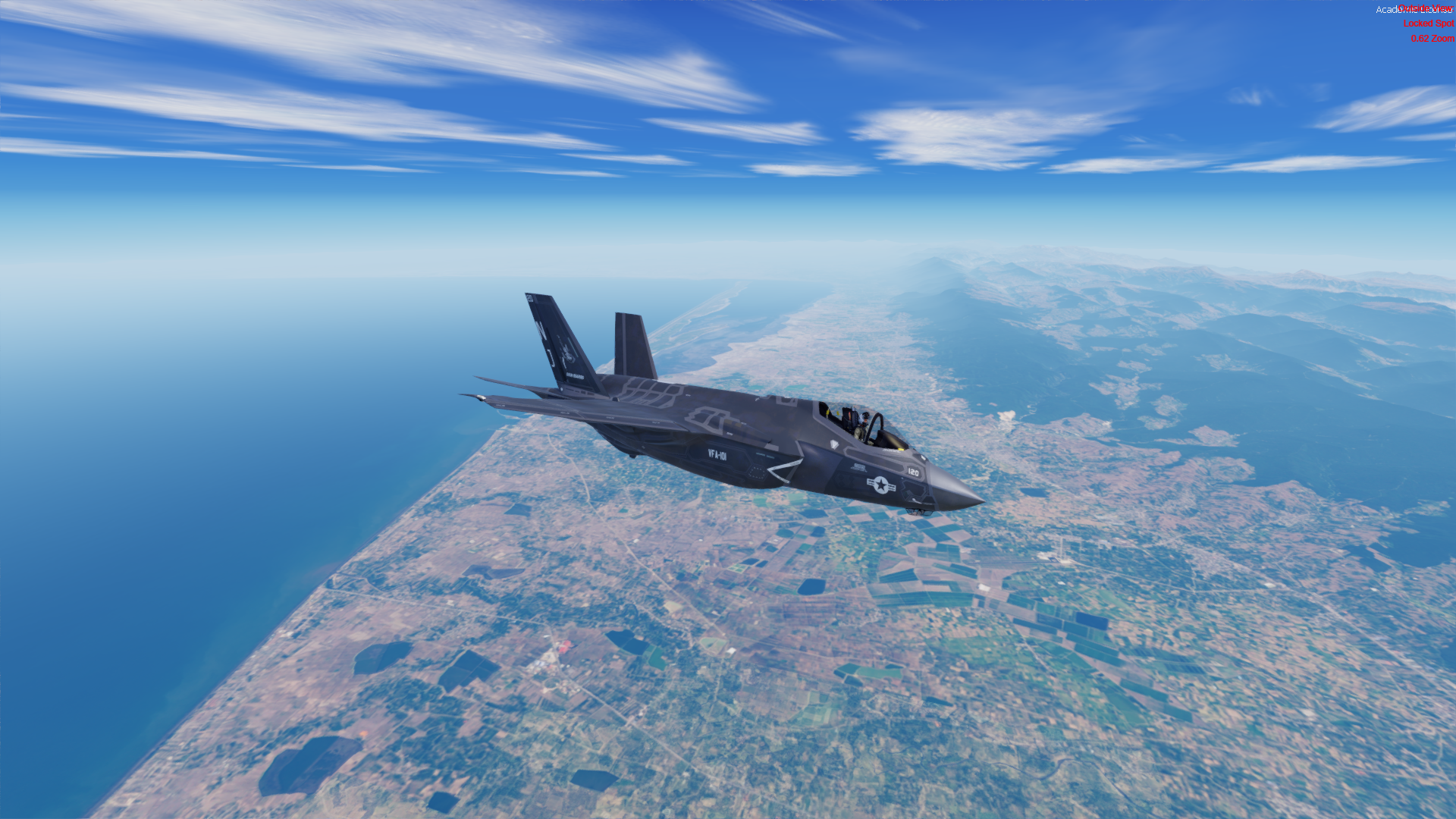
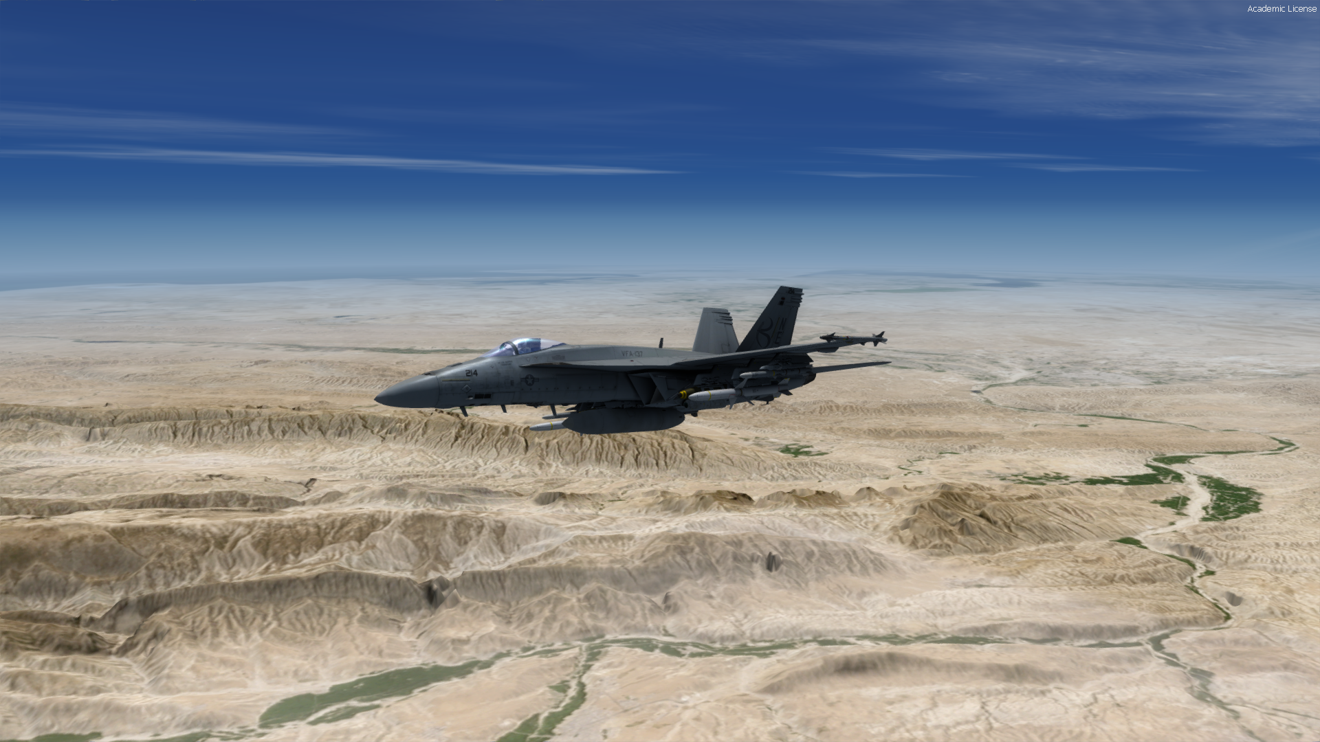
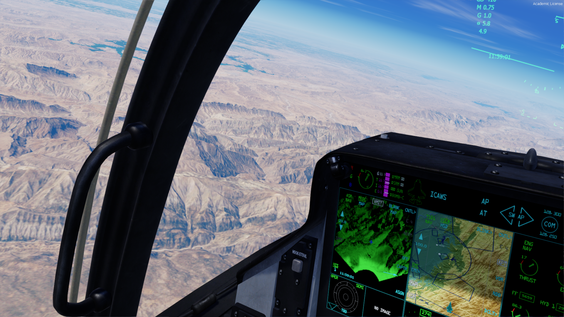
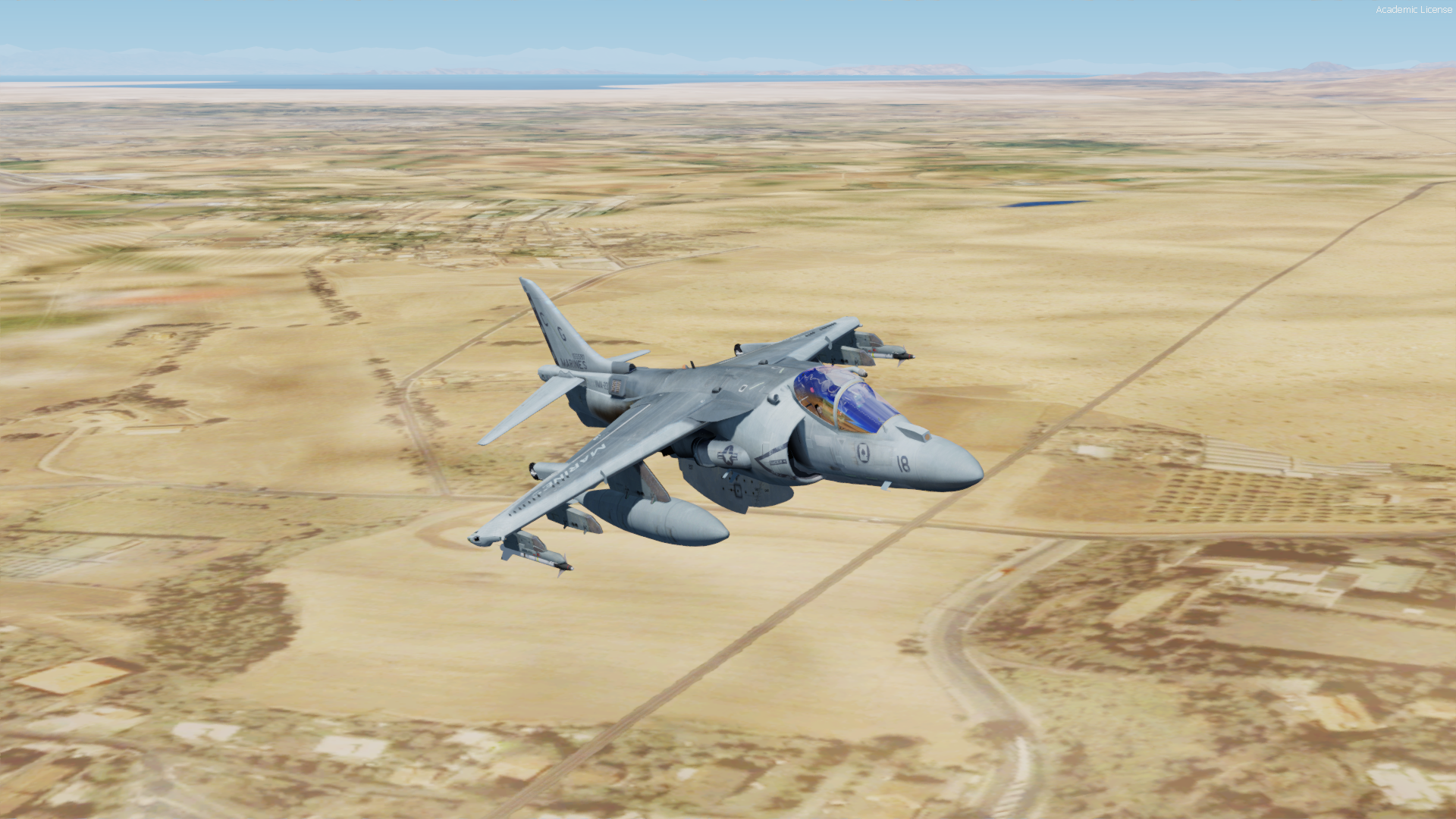
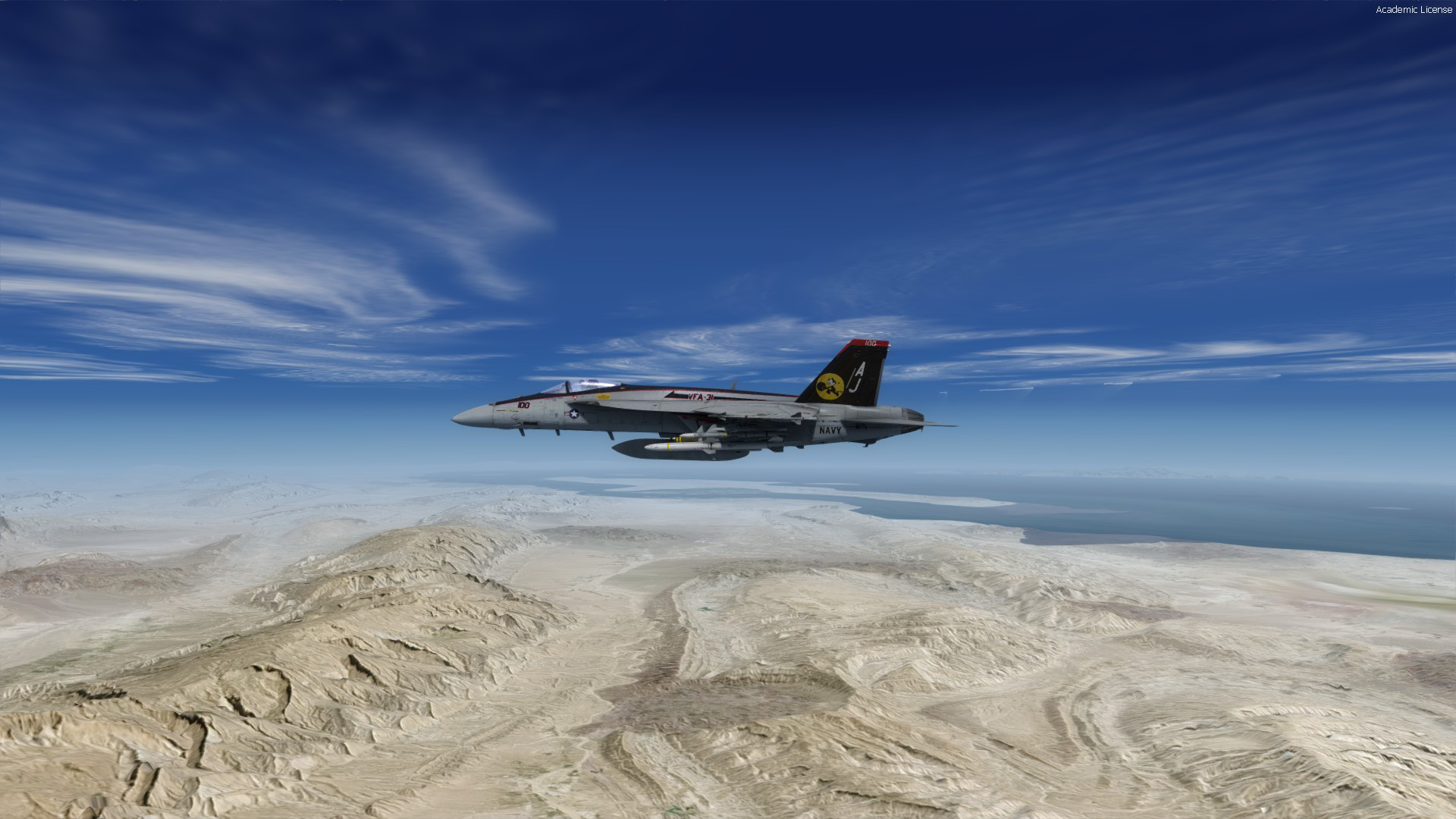
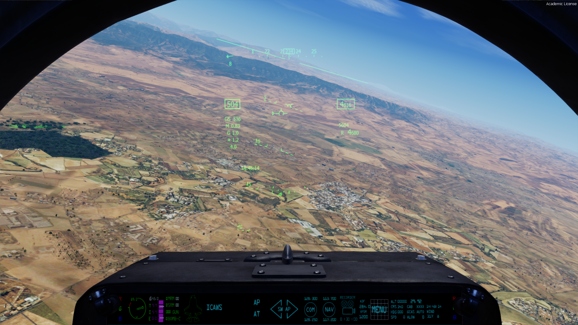
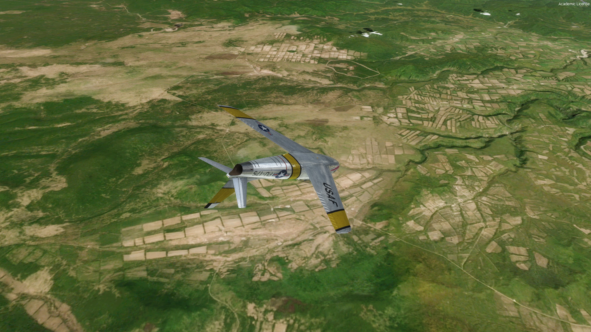
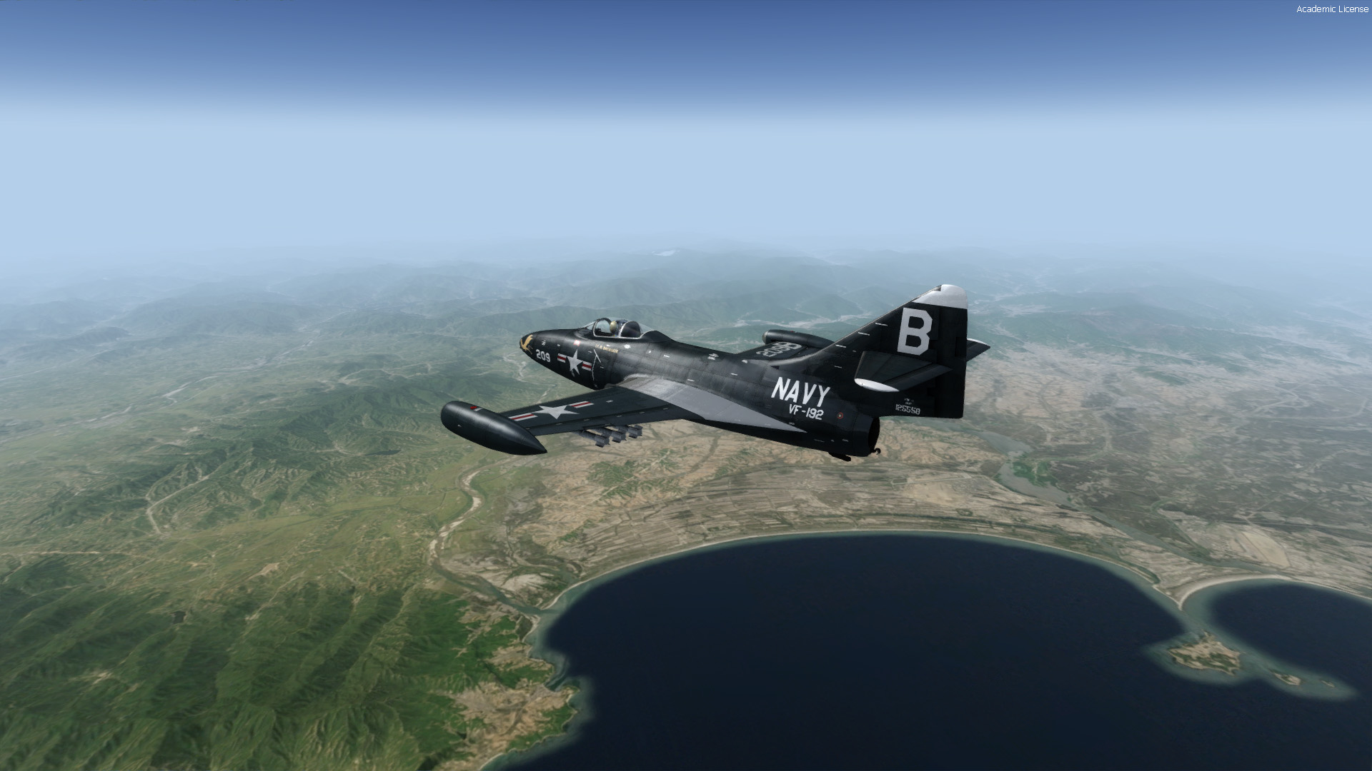
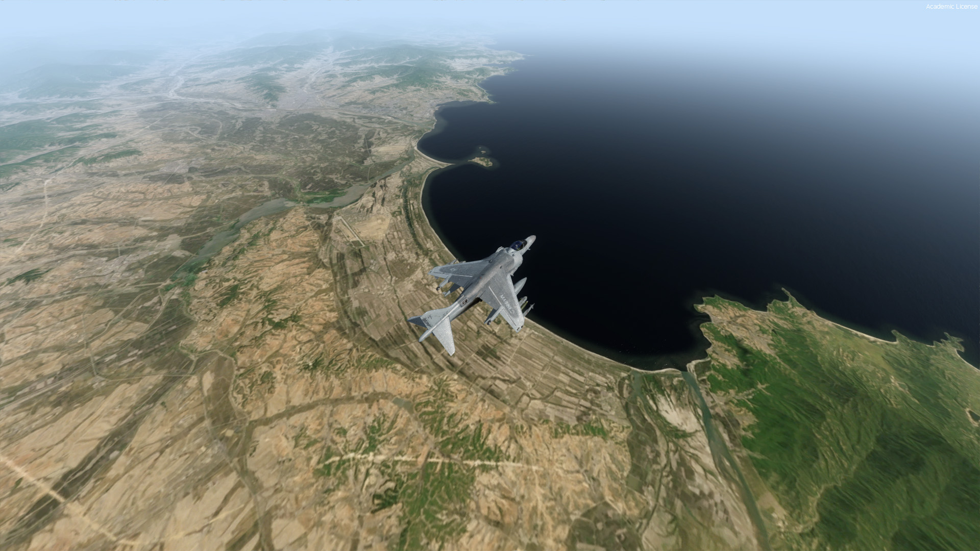
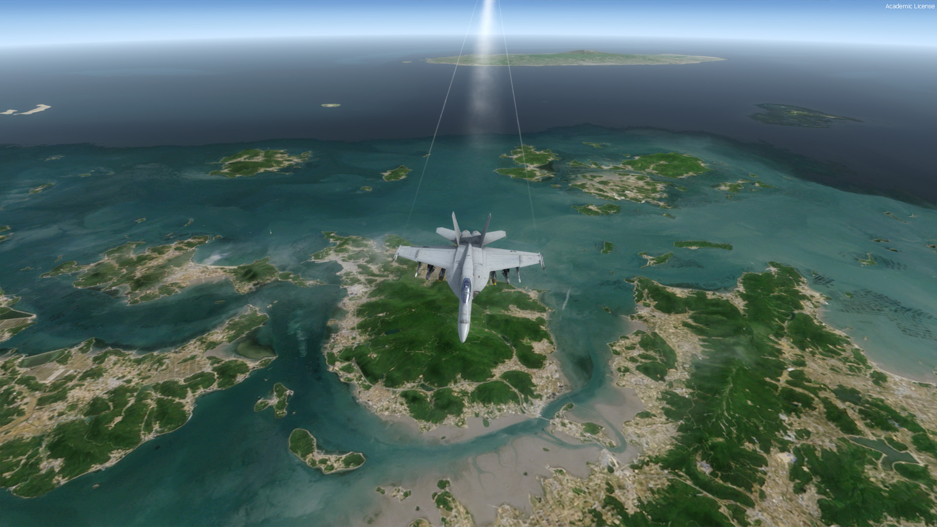
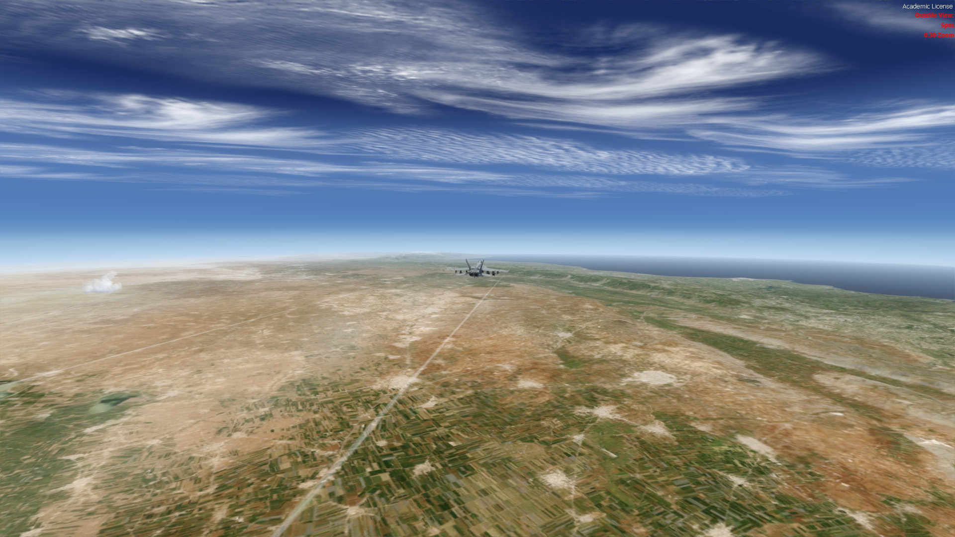
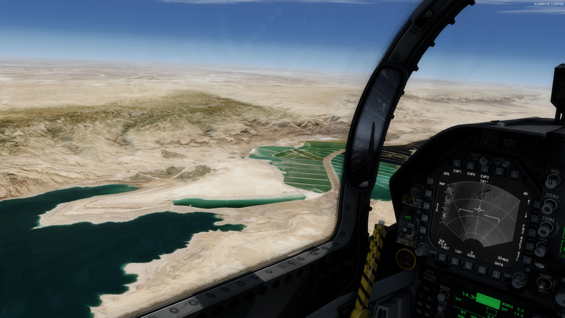
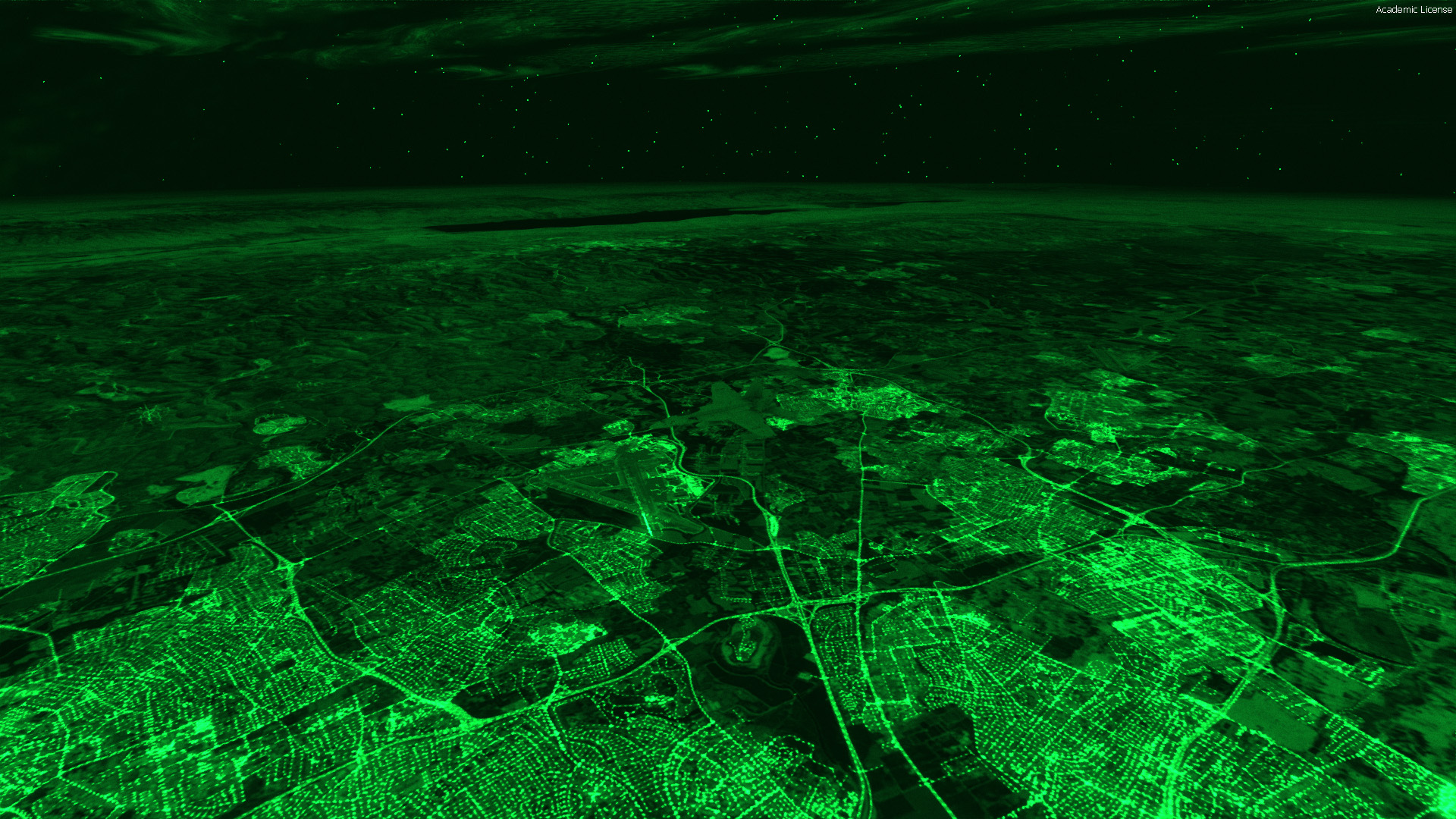
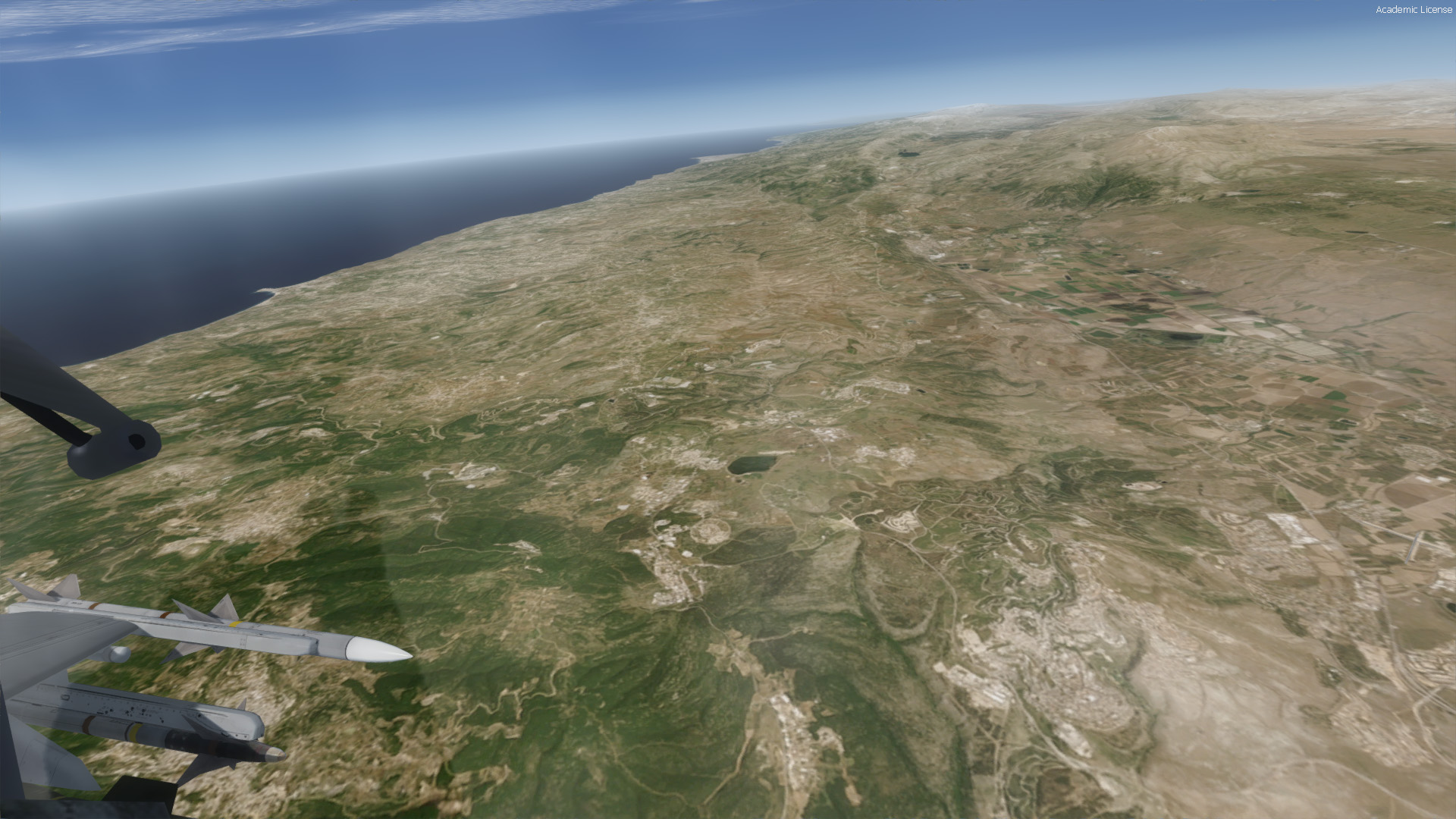
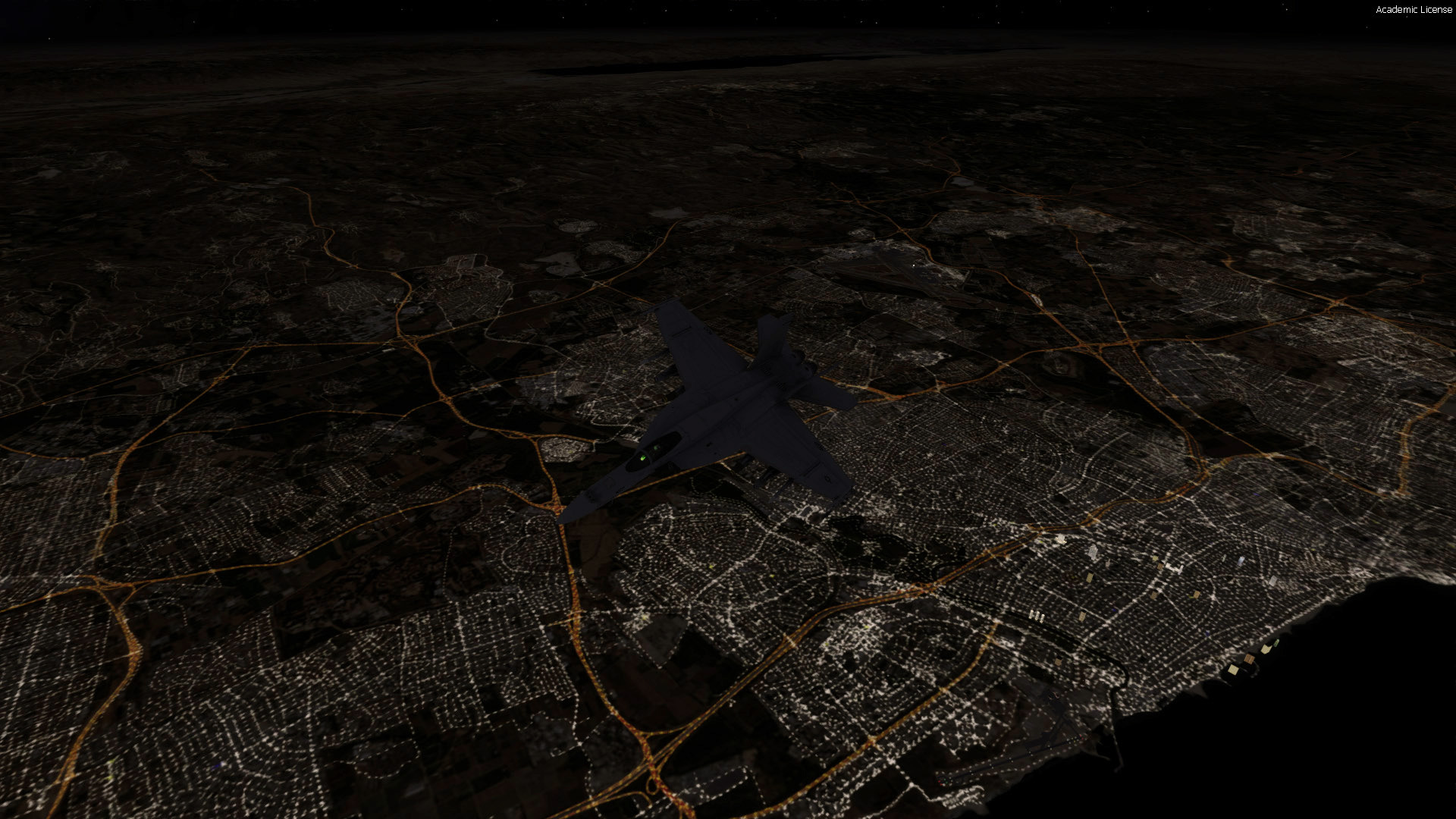
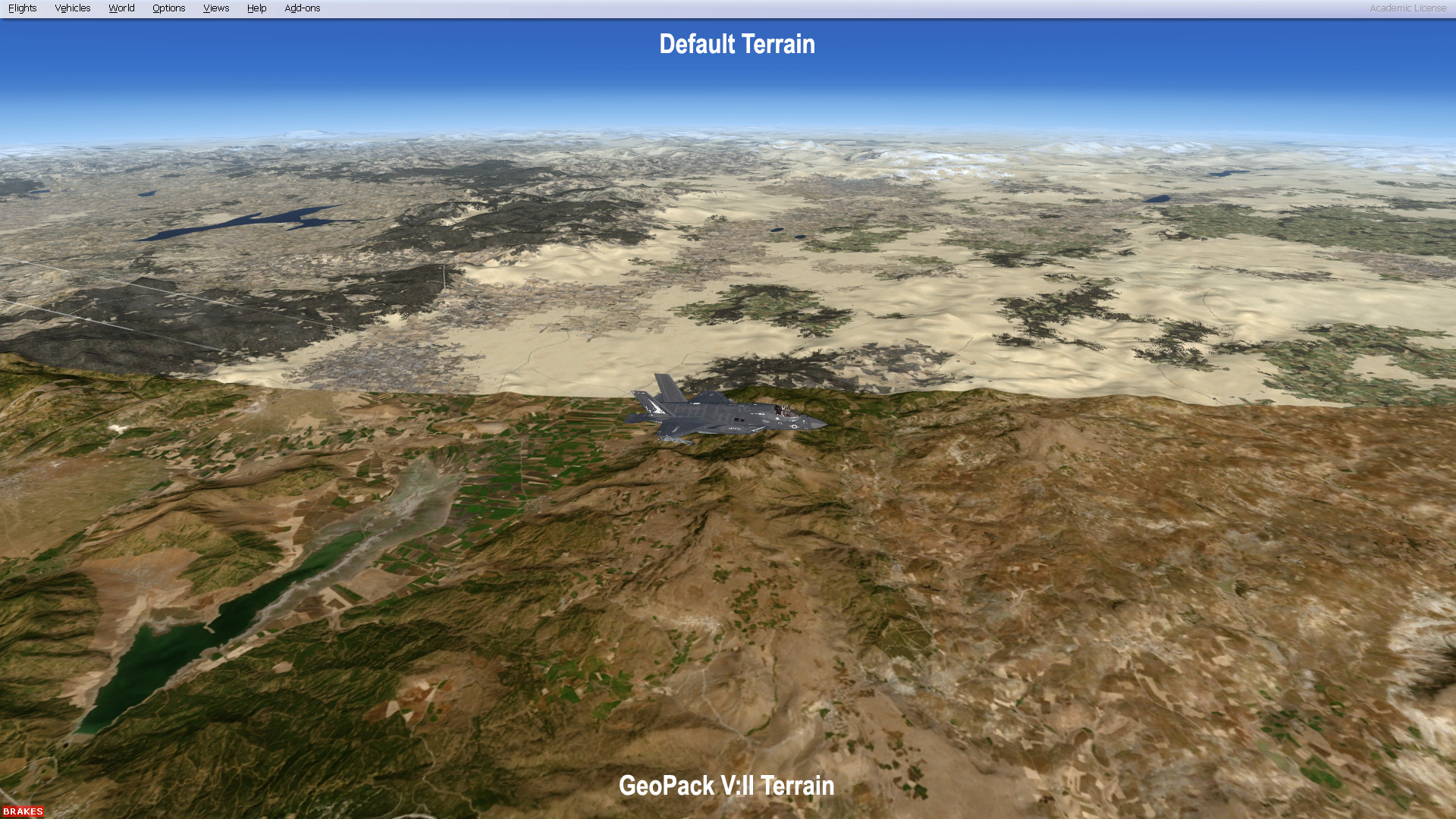
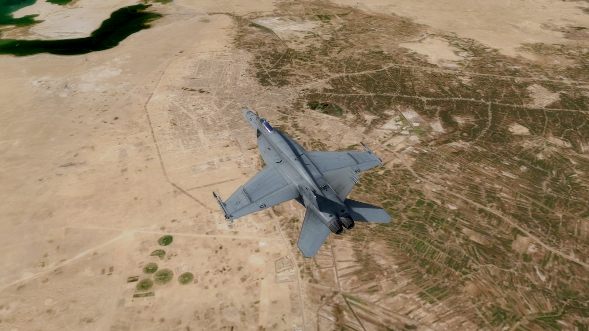
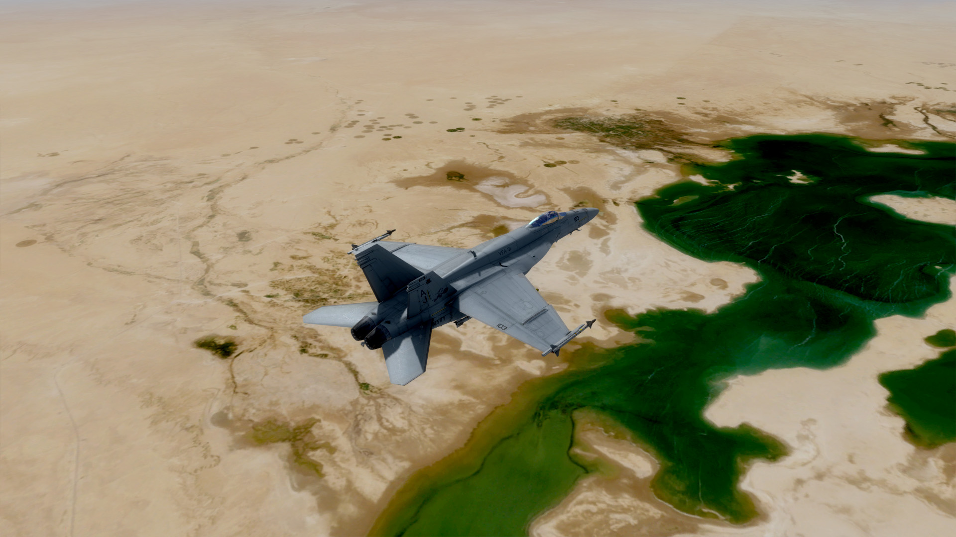
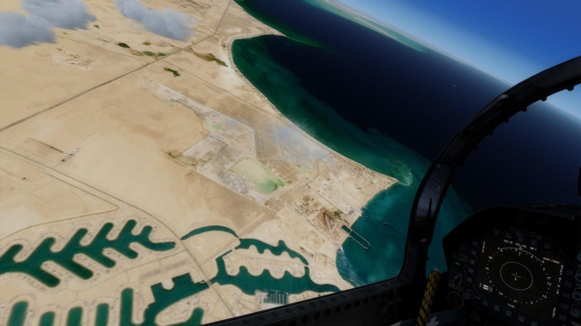
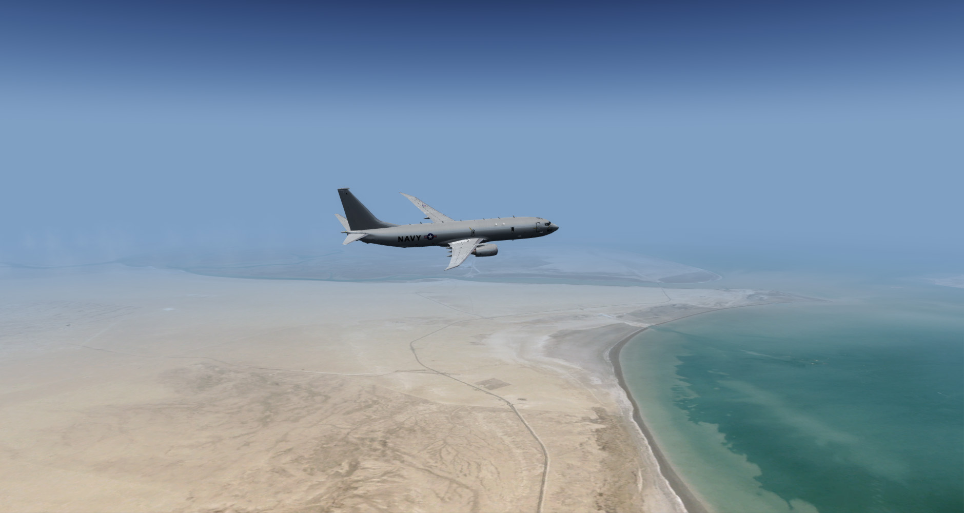
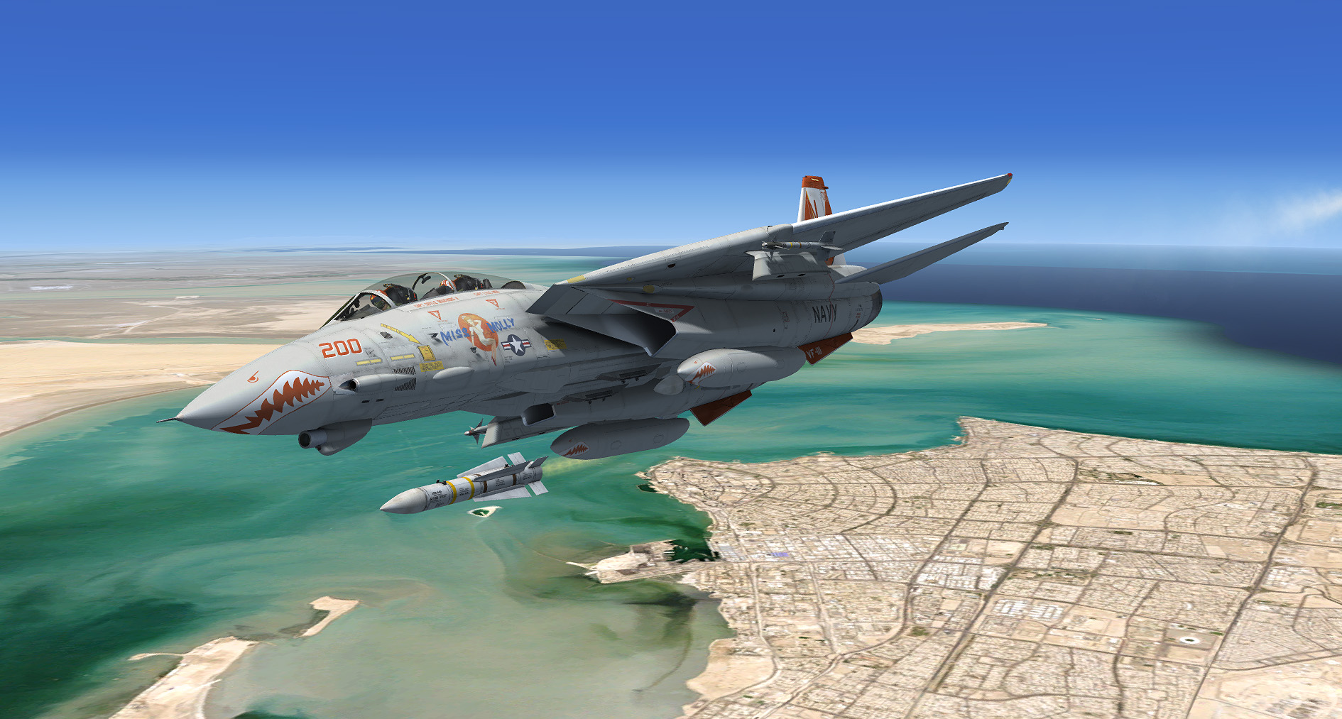
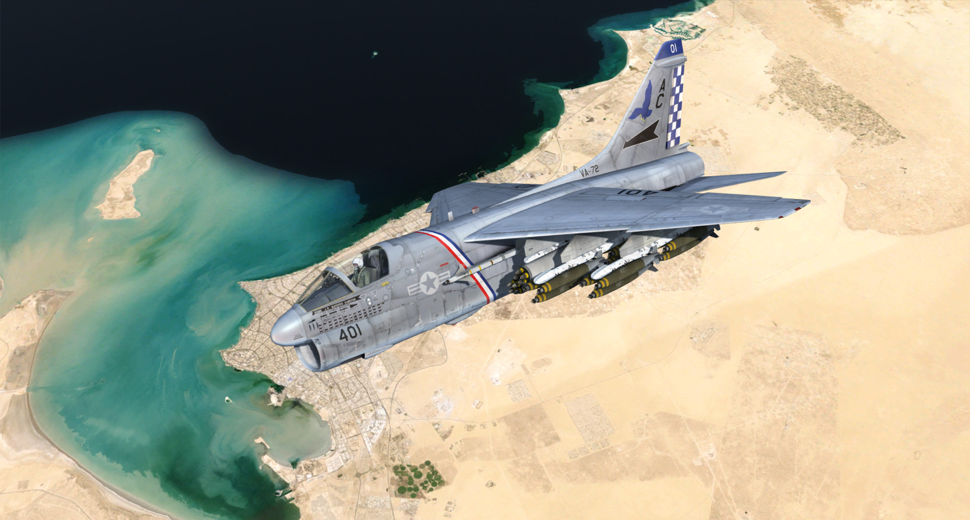
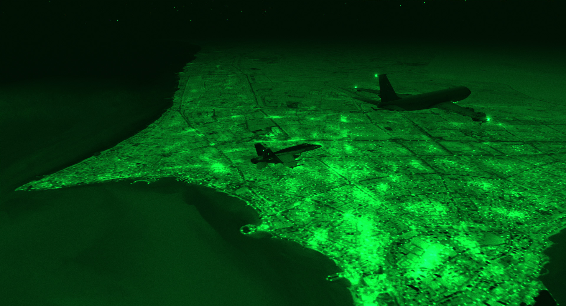
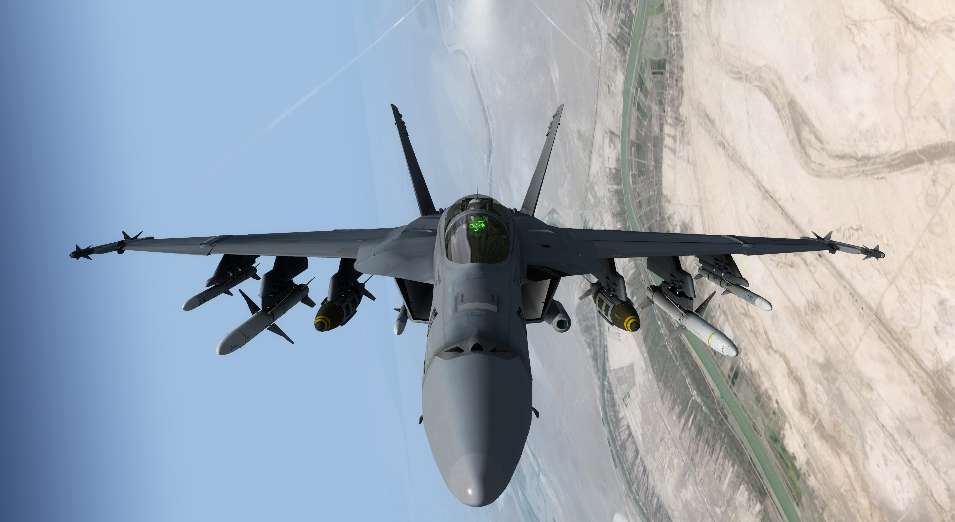
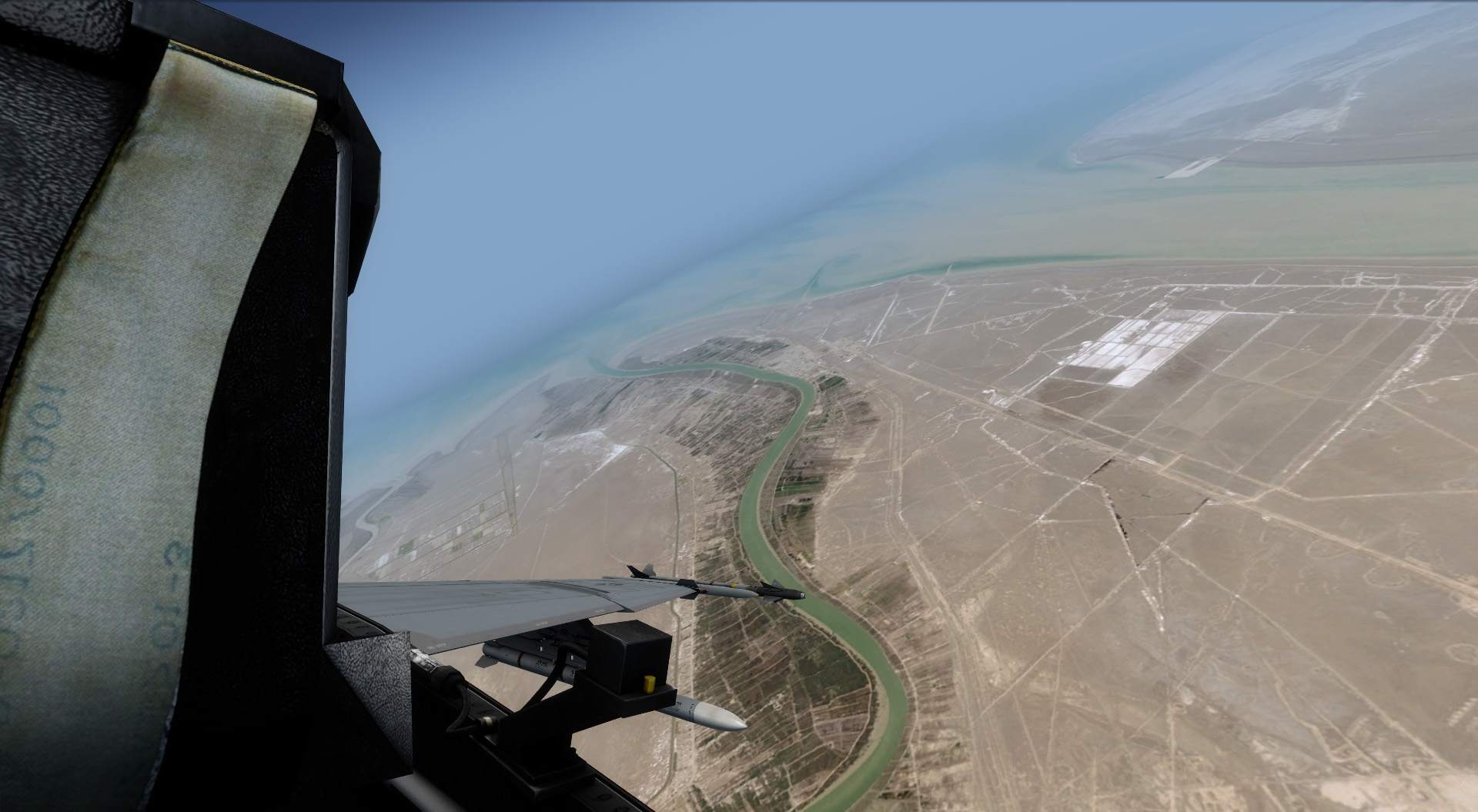
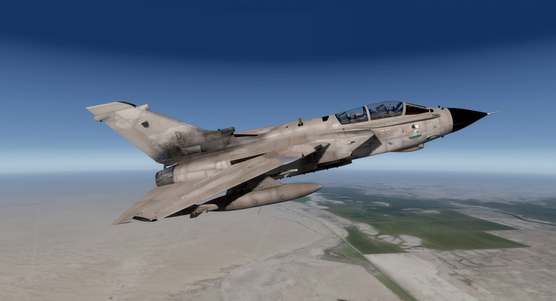
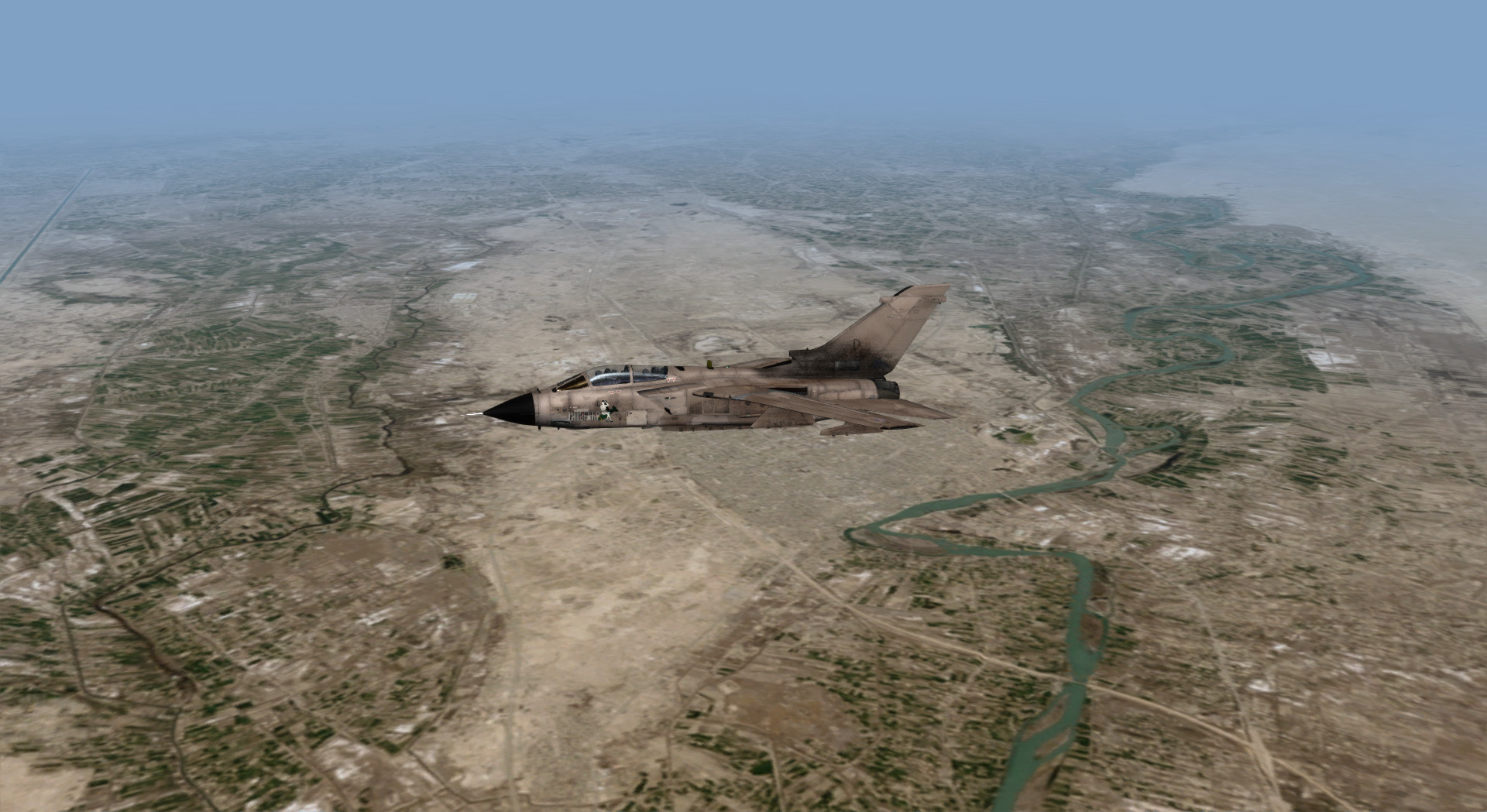
VRS GeoPack is a new series of 15 meter IFR resolution (mid to high altitude) pan-sharpened, color balanced satellite imagery designed to cover prolific military theaters of conflict throughout the world. GeoPack is the only scenery currently available for FSX/P3D that covers vast areas of the Middle-East (followed by other areas, including the Korean Peninsula) at this resolution and imaging consistency. Each package also features custom night lighting meticulously crafted by VRS scenery specialist Norman Gibson.
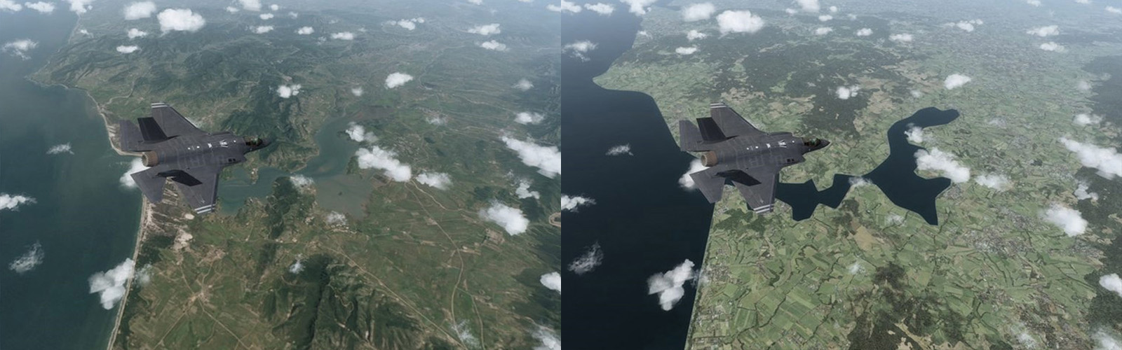
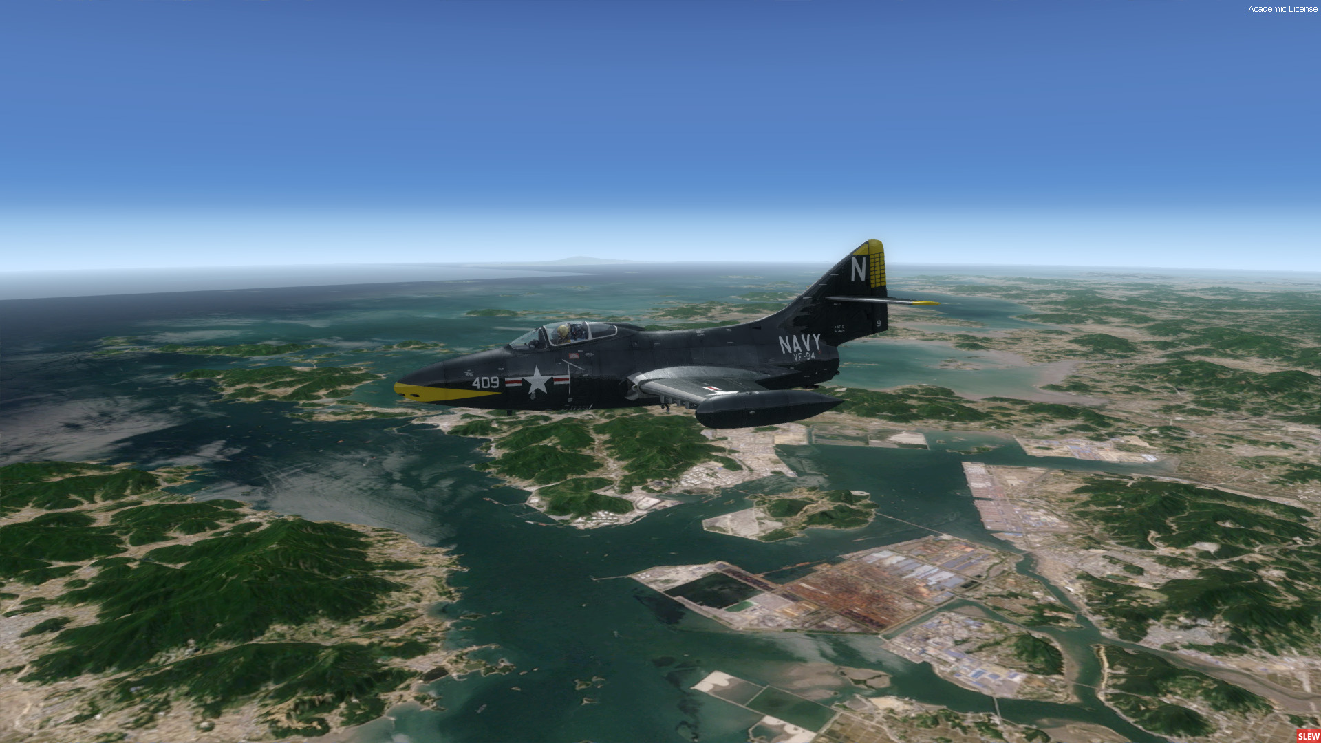
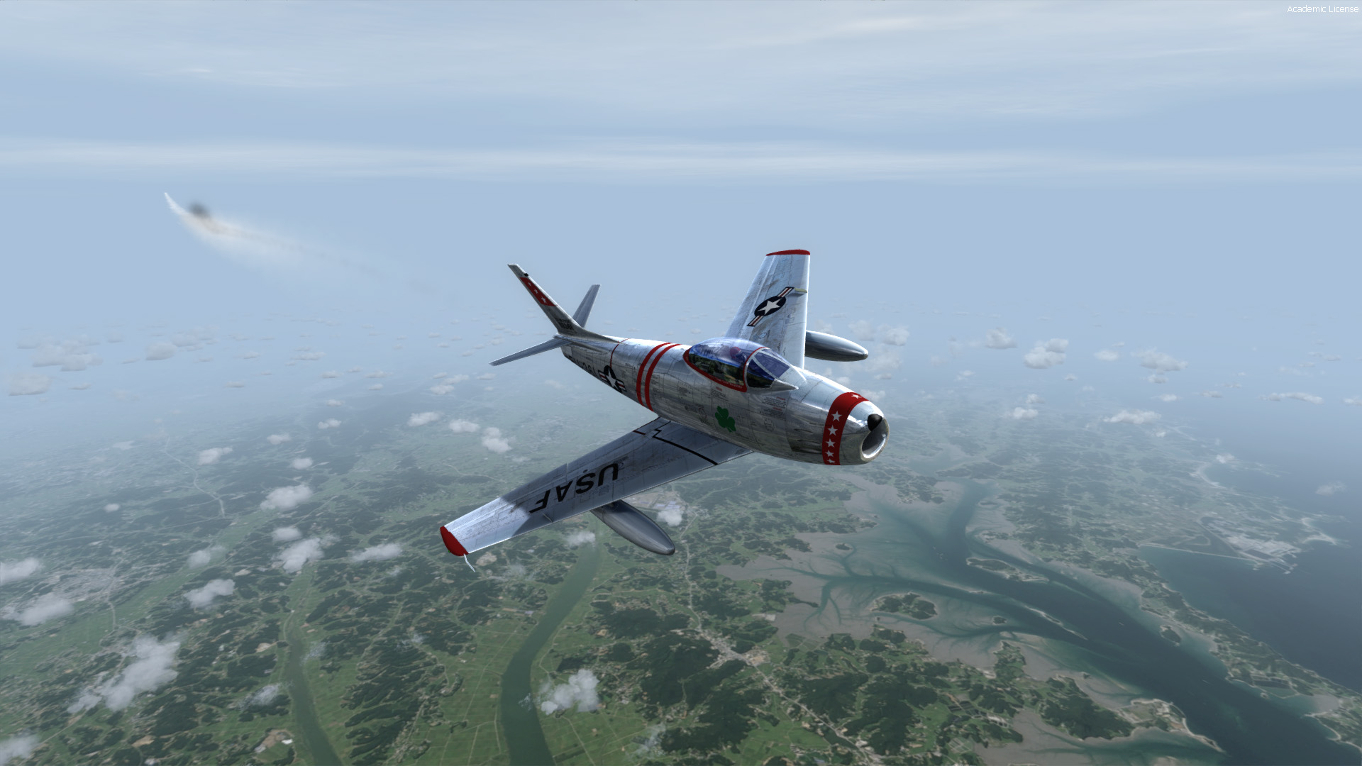
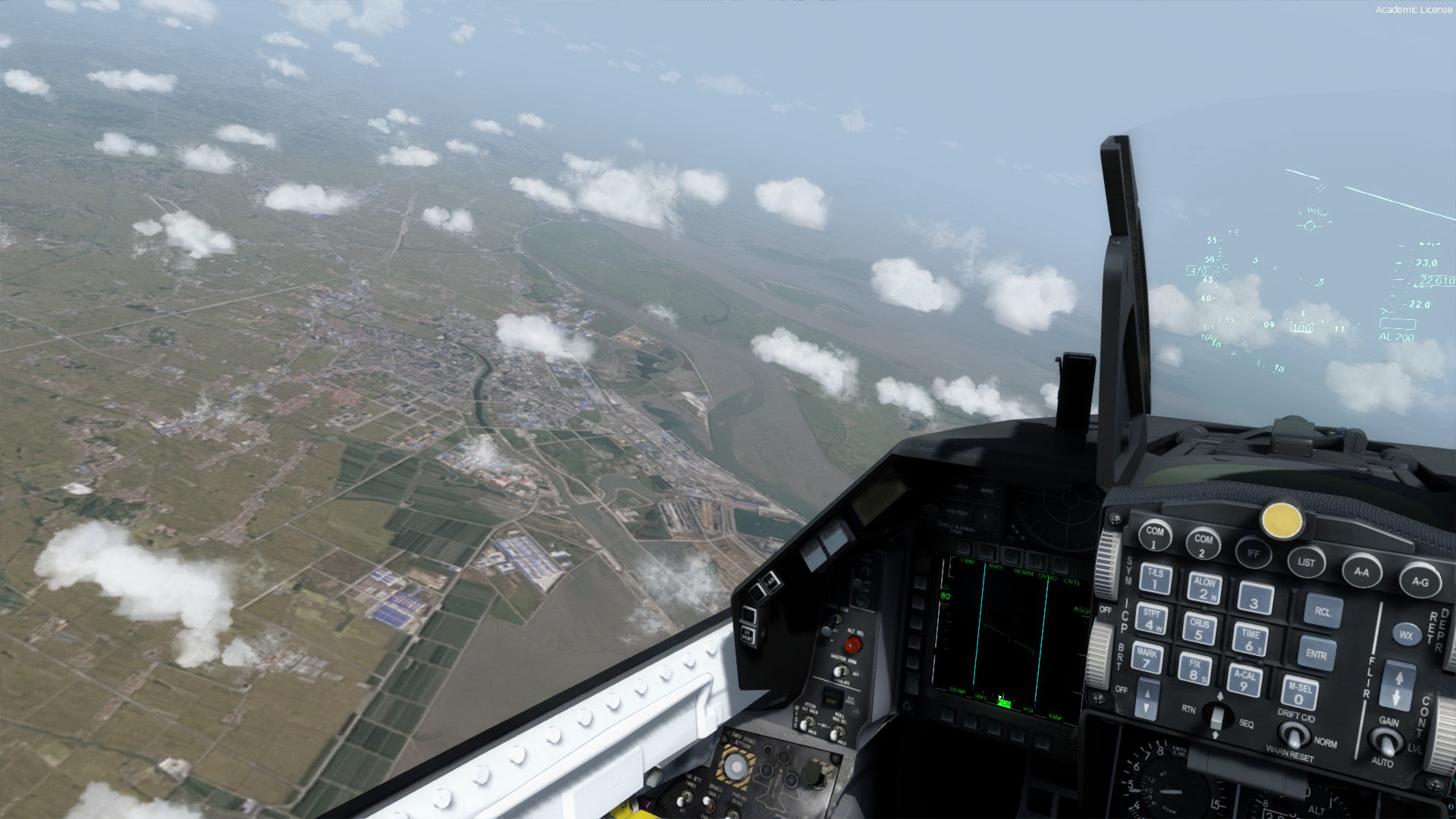
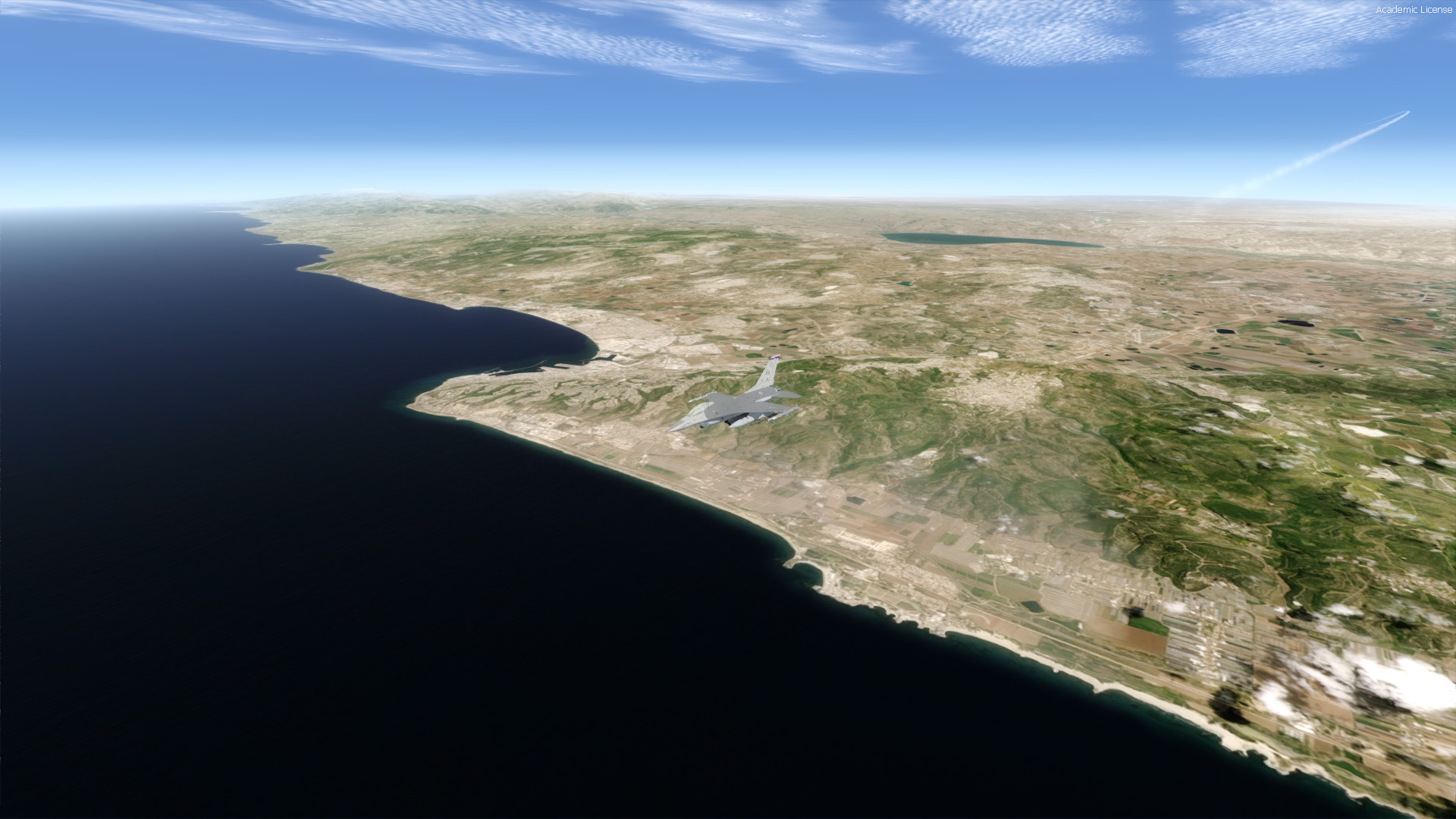
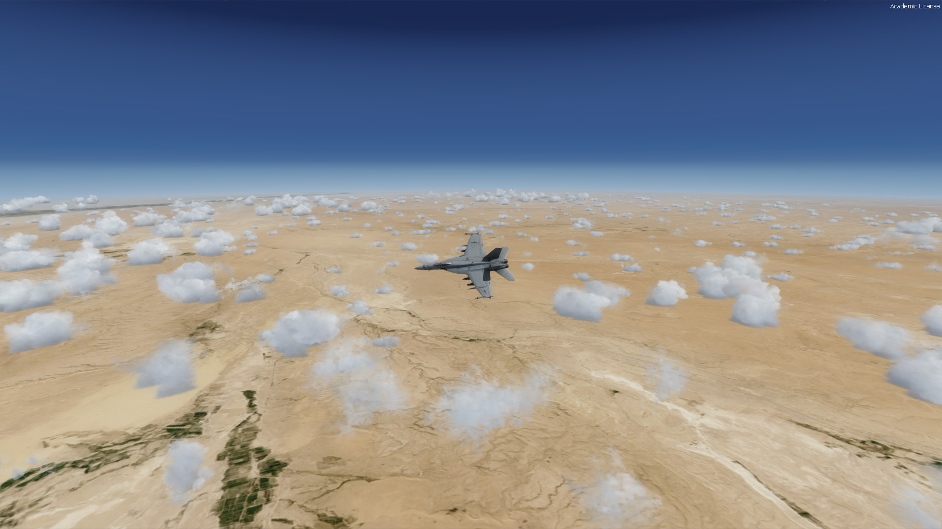
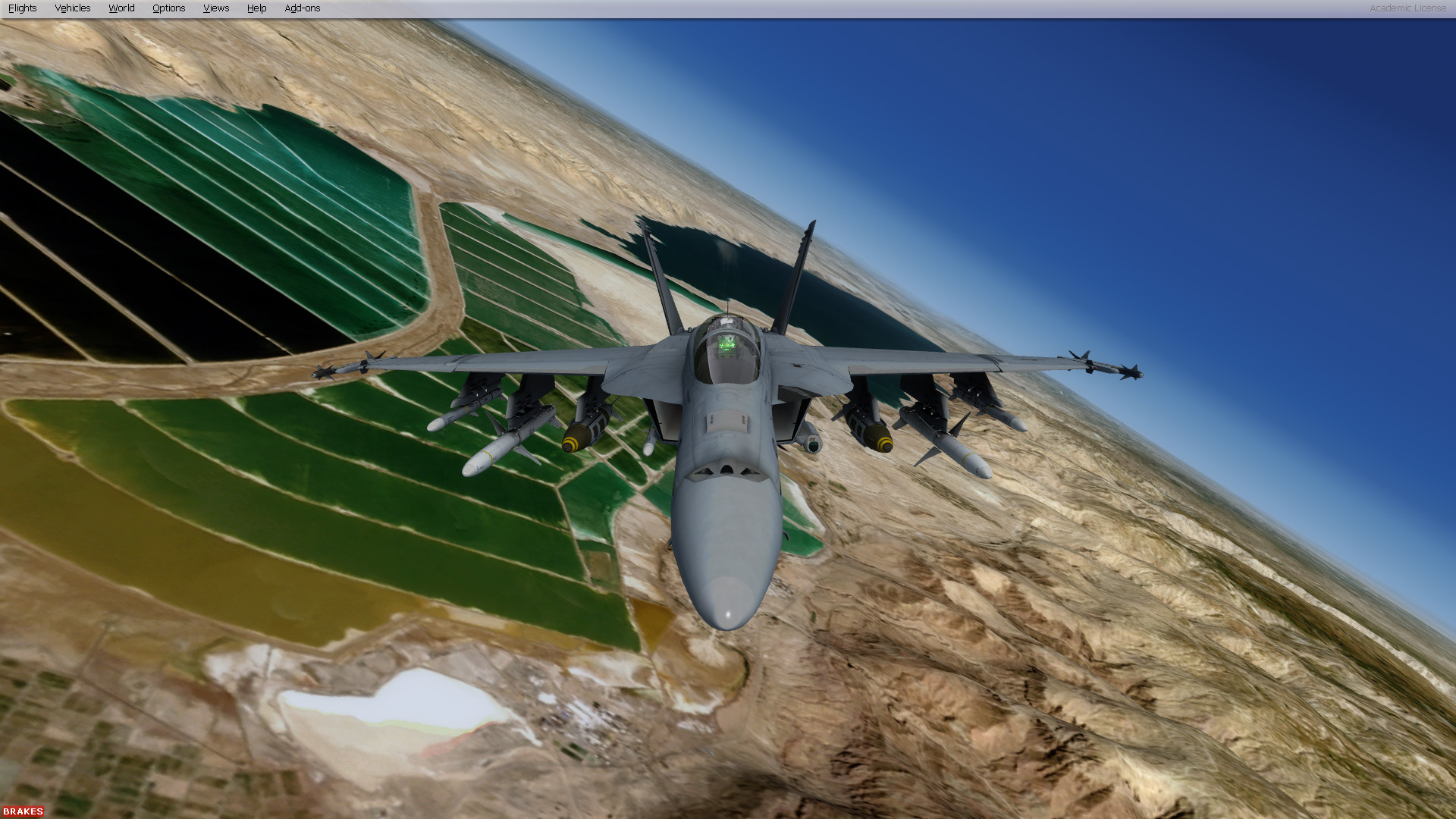
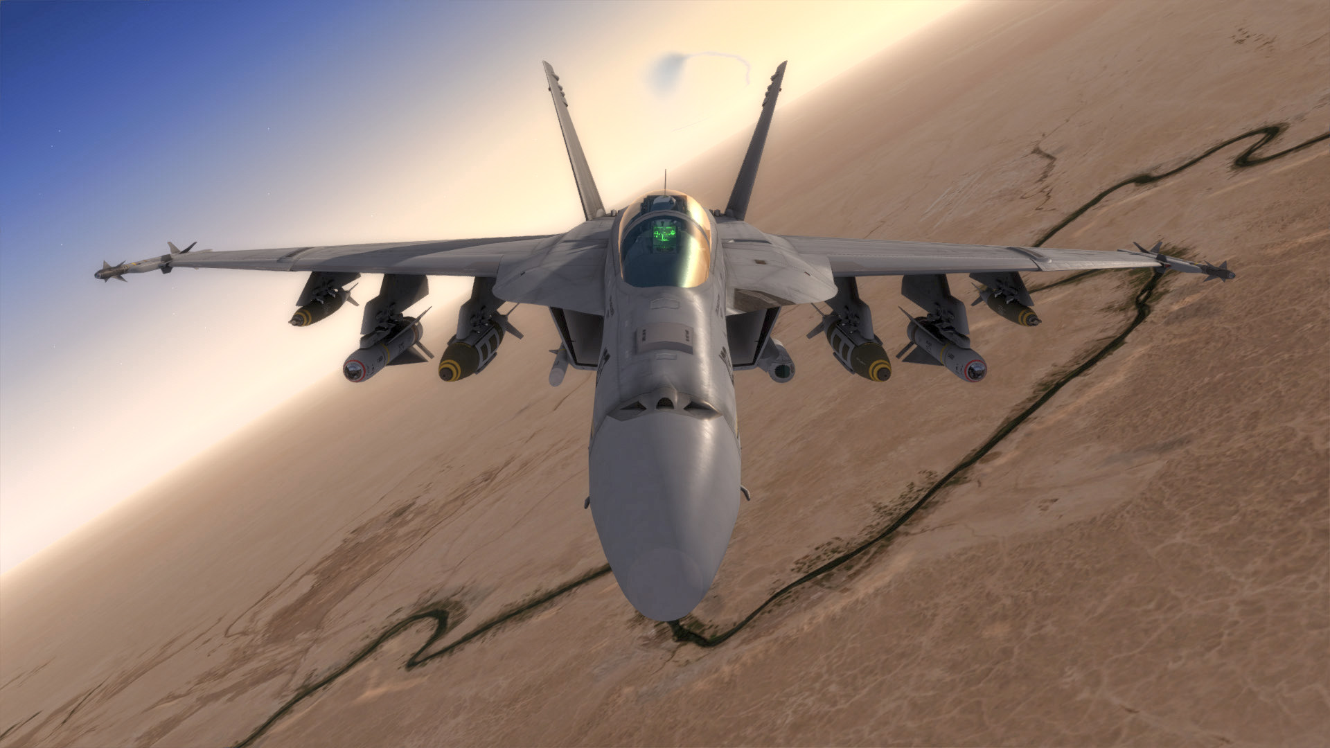
Ideal for military ops: GeoPack is perfectly suited to provide maximum performance and visual quality at medium (10K) to high (30K+) altitude over the widest possible range for fast-movers. This scenery is not designed to provide low altitude local (VFR) coverage. VFR scenery can provide higher quality visuals at low altitude, but these are ill-suited to military aircraft which typically travel at faster speeds and higher altitudes than General aviation (GA) or rotorcraft. GeoPack provides "real as it gets" visuals for both solo and multiplayer flight exercises over some of the most historical and currently active military combat zones in the world.
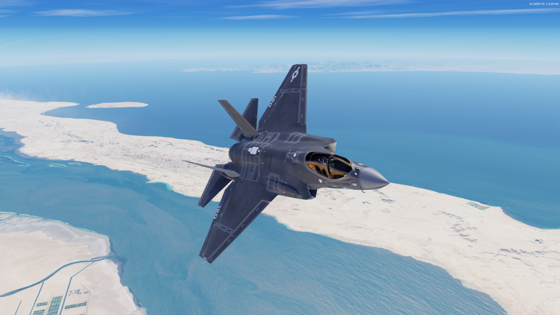
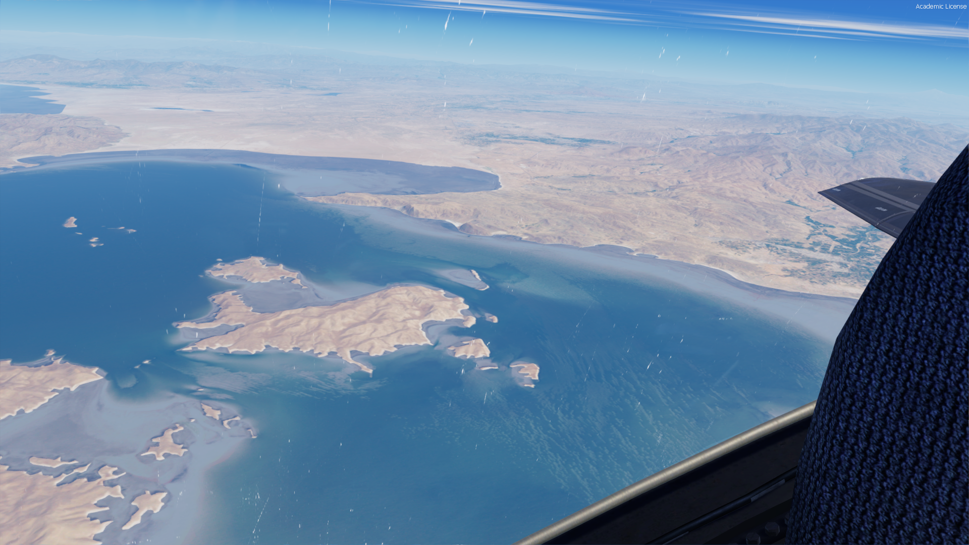
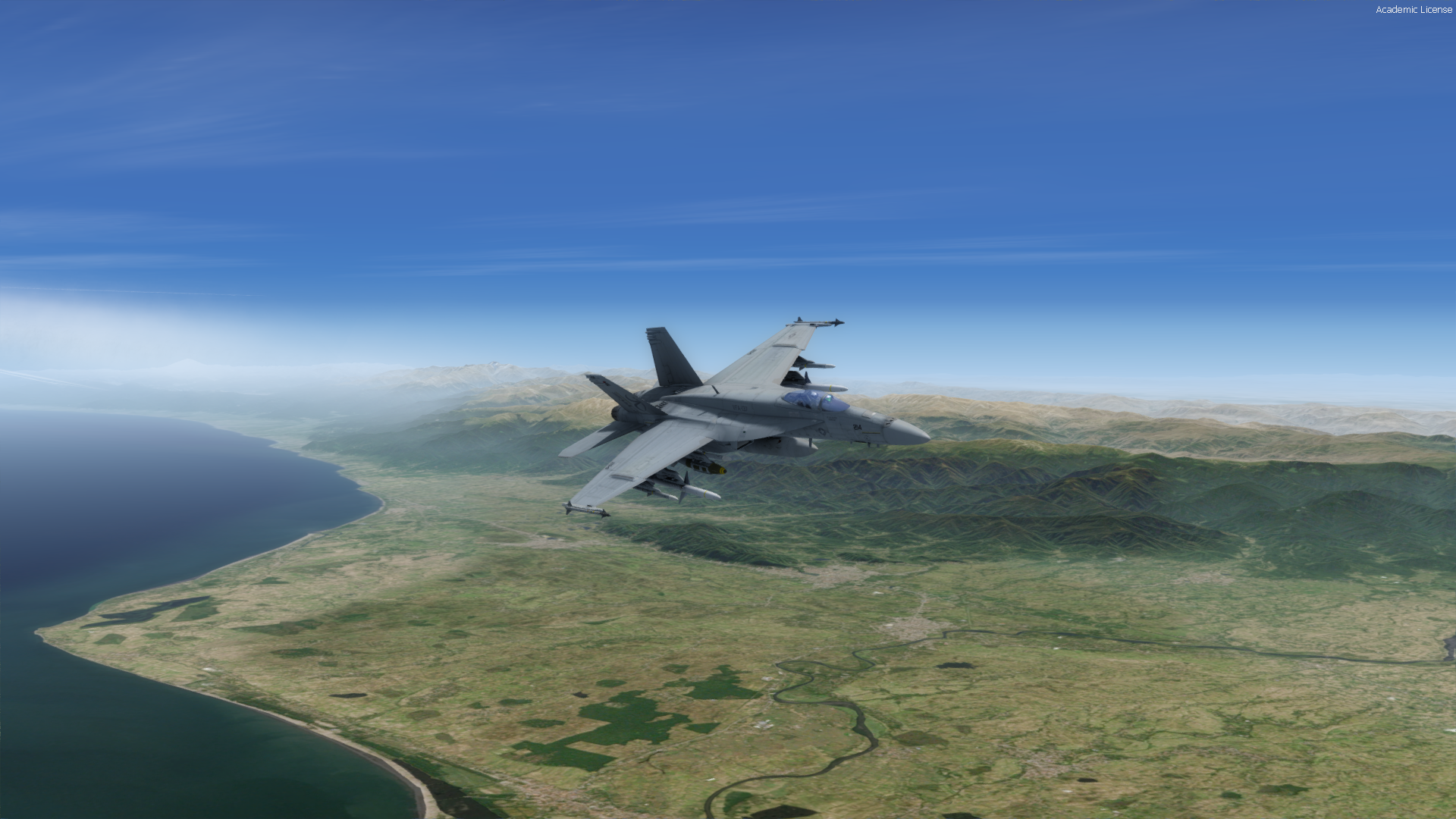
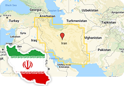
Volume IV: Iran
Total Coverage: +1.6 million km2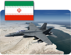
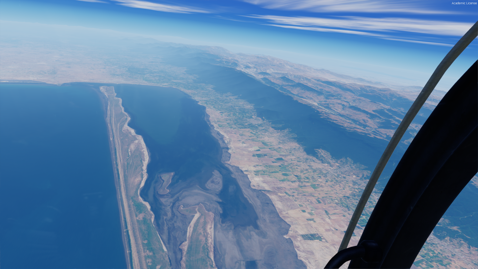
Volume IV: Our fourth (and largest) GeoPack release covers the country of Iran with partial (border region) coverage of the Caspian Sea, the Persian Gulf and surrounding border regions. GeoPack Iran uses a composite blending technique in order to seamlessly blend default scenery details and landclass with high-altitude satellite imagery. Total coverage for Vol IV is
over 1.6 million km2.
Iran has been a considerable source of tension in the middle-east due to continued material and logistical backing of Bashar al-Assad's Syrian forces, as well as continued diplomatic tension surrounding the Iranian Nuclear Deal, or as it's formerly known, the Joint Comprehensive Plan of Action (JCPOA). Will the rhetoric and posturing finally turn to hostility? See incredible mountain ranges and vast Persian landscapes like never before! Vastly superior to default terrain and encompassing thousands of square miles of photorealistic satellite topography, this package is perhaps our best yet!
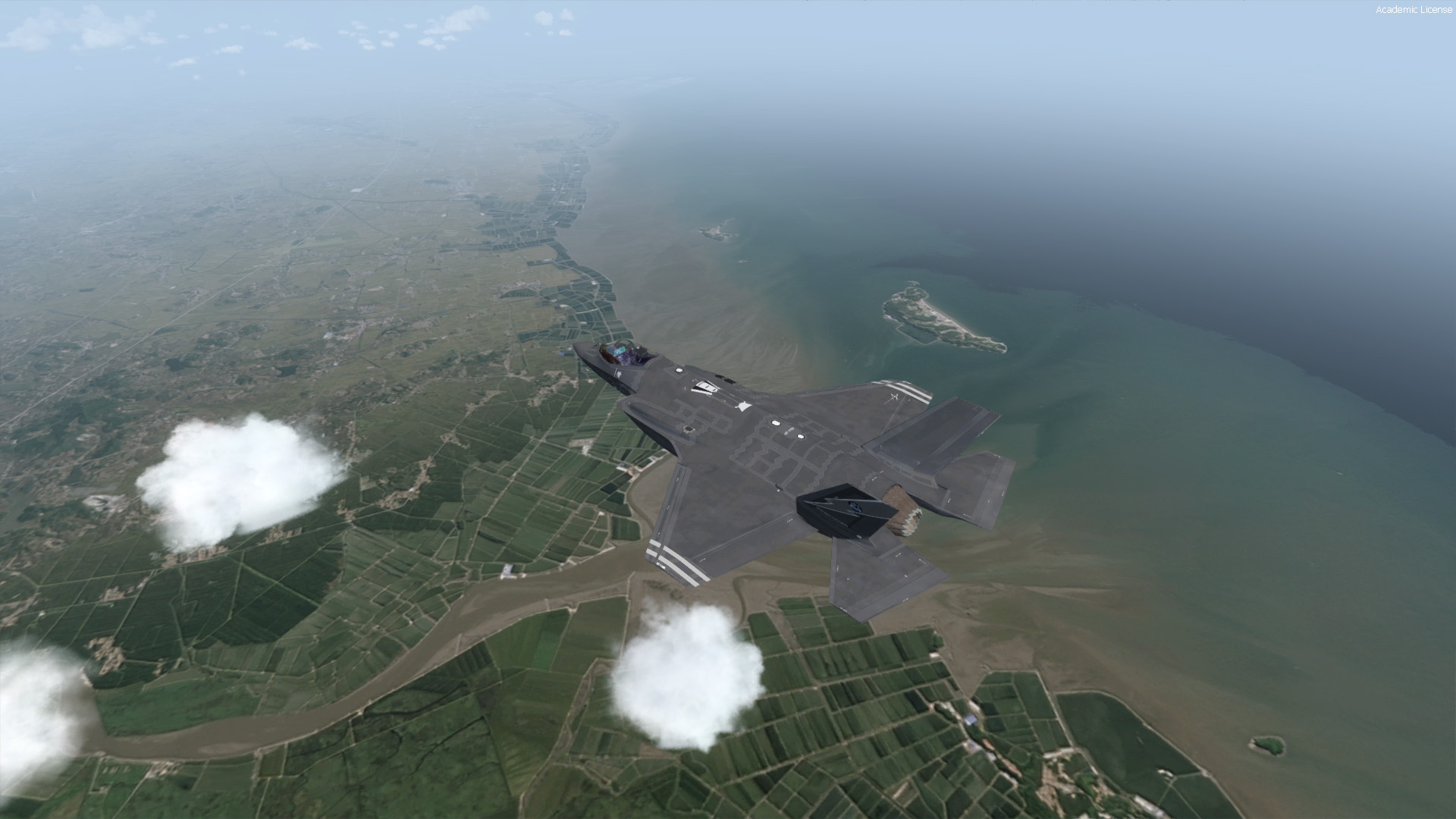
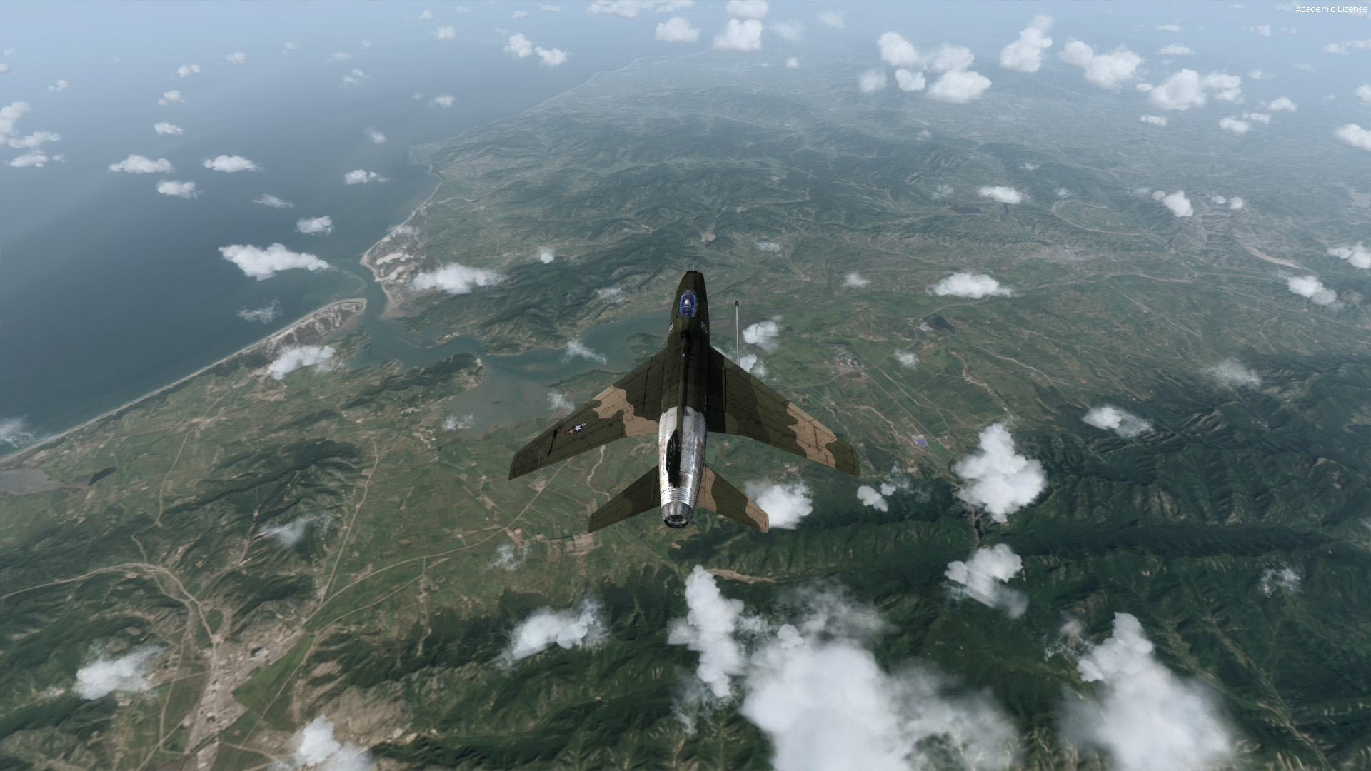
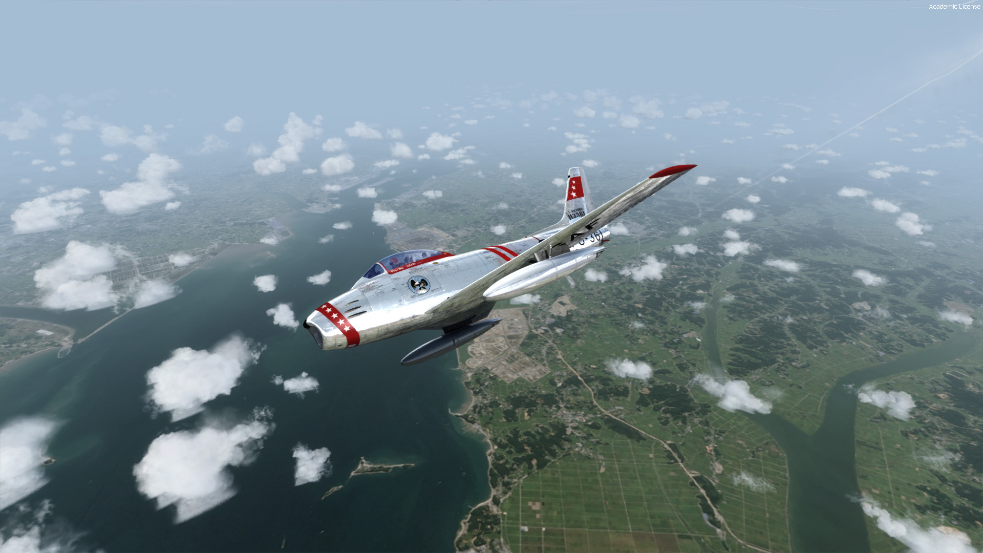
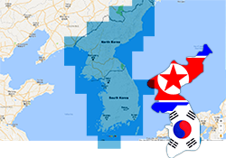
Volume III: North (DPRK) & South Korea
Total Coverage: 220,750 km2
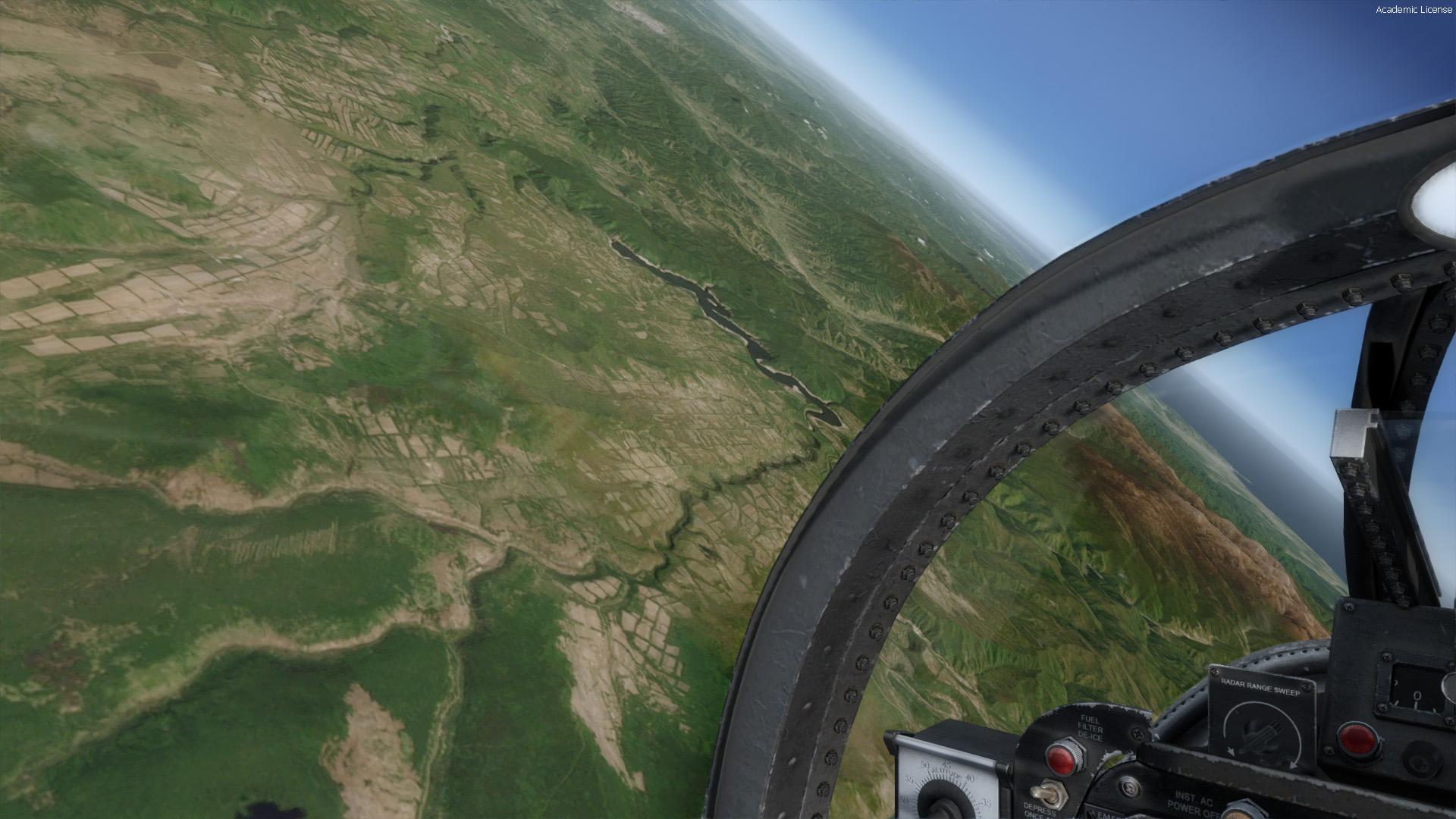
Volume III: Our third GeoPack release covers the countries of North (DPRK) and South Korea with partial (border region) coverage of China, Sea of Japan, and Yellow Sea. Total coverage for Vol III is 220,750km2.
Korea is in the news almost daily, with provocative actions occurring regularly from the North. Will the rhetoric turn to action with the region exploding into all-out war? See the starkly contrasting topographies like never before, and experience what it's like to fly over some of the most intensely charged airspace on Earth!
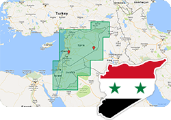
Volume II: Syria/Jordan/Lebanon/Palestine/Israel
Total Coverage: 311,964 km2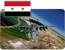
Volume II: Our second GeoPack release covers the countries of Syria, Jordan, Lebanon, Israel/Palestine with partial (border region) coverage extending into Turkey and Iraq. Total coverage for Vol II is
311,964 km2.
Simulate battles over some of the most militarily active airspace on Earth in this extensive Middle-Eastern package. Designed by Norman Gibson, and including gigabytes of never-before released areas in FSX/P3D, this package will transform your mundane stock scenery into beautiful high-altitude photo-realistic landscapes.
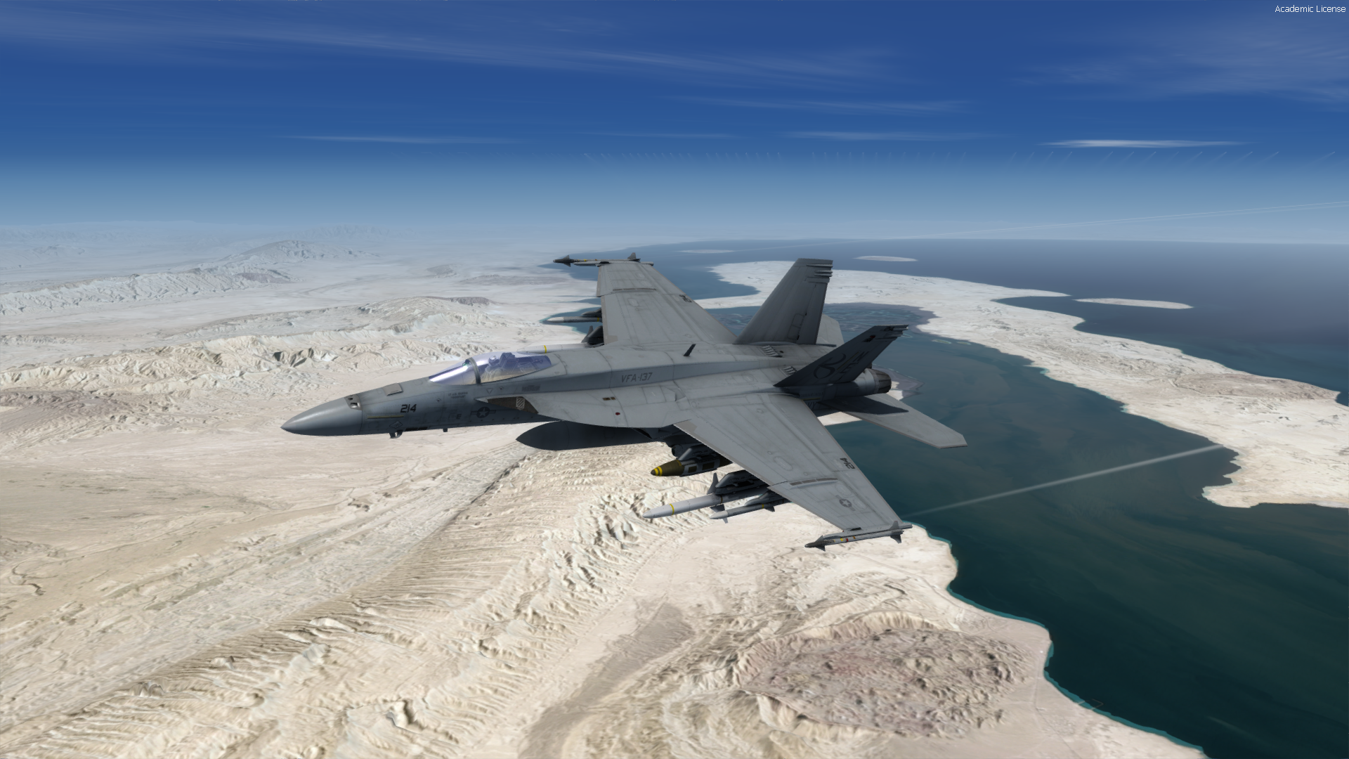
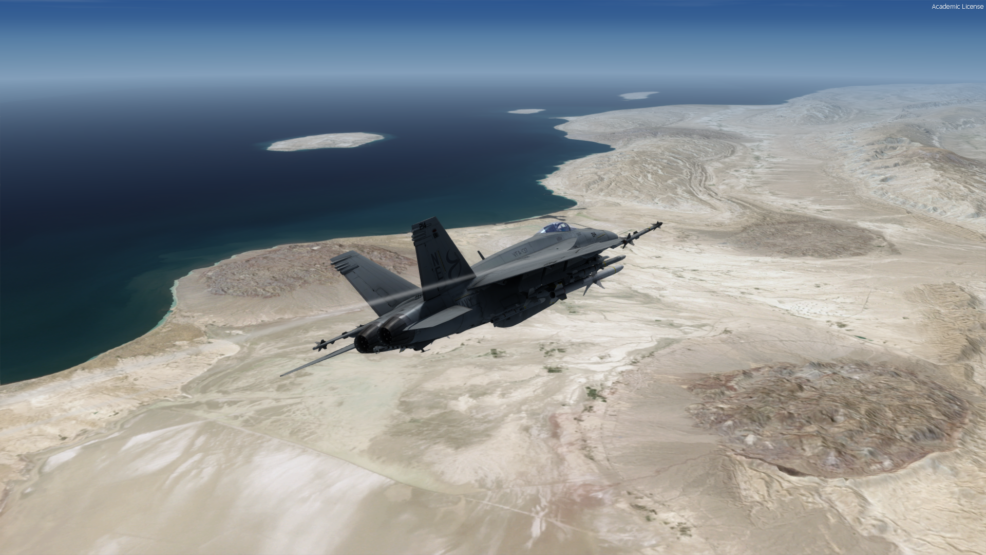
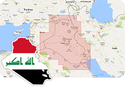
Volume I: Iraq/Kuwait
Total Coverage: 862,725 km2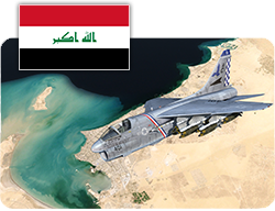
Volume I: Iraq/Kuwait is the first package available, and covers the countries of Iraq and Kuwait with partial (border region) coverage of Syria, Jordan, Saudi Arabia, Iran, and Turkey (see coverage map). Total coverage for Vol I is
862,725 km2.
From Operation Desert Storm, to Iraqi Freedom (OIF) and Operation Inherent Resolve (OIR), Iraq has been bore the brunt of almost three decades of war. GeoPack Volume I provides an accurate visual foundation upon which historical or reimagined air operations may be flown.